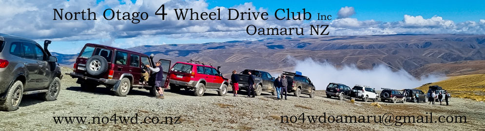
Trip report - Combined Clubs weekend - Alexandra
Day 1 Saturday 20th March
It was a cloudy day, although not cold.
25 vehicles meet up at the Alexandra Ice skating rink carpark. 8 were from North Otago, the others from Central Otago and Southland.
After roll call and the recap of the usual rules were away about 8.45am.Trip leader was Brent from the Central Otago club.
We headed out onto the Alexandra Roxburgh road where after about 13km we turned onto the road leading to the Kopuwai Conservation Area.
The landscape became rocky with tussocks.The road was rocky and bumpy as we went uphill. There were a few gates to open and the lolllies were plentiful for the gate openers.
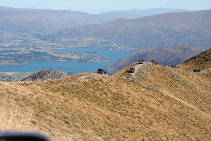
As we got near the top of the hills the view down was obscured by the cloud.it was an incredible view though being above the cloud and looking down over it, like a white blanket. Above was beautiful blue sky.
There were large interesting rock formations
At the summit we were 1627m above sea level.
We drove onto the Old Man Range. The landscape became very barren, just moss on low rock.
It started to get foggy and the road was a bit wet and muddy.
We went over onto the Old Woman Range. Had no view because of the fog. Vegetation on the side of the road was grassy and tussocks.
As the fog started to clear we stopped for 5 minutes where we had a view of the hills and mountains.
We stopped beside a stream for lunch before driving up then continuing down the mountains
We crossed over the Nevis Road and had another wee stop by some interesting rock formations. We could see Cromwell and Lake Dunstan in the distance
The road going down was dusty and shingle. We passed by Carricktown where there were remains of stone huts and drove into Bannockburm.
In Alexandra Brent took some of us through the Central Otago Club's clubground. Their own private land of 75 hectares of 4wd tracks alongside the Clutha river. The tracks go through overgrown forest with lots of turns and ups and downs.
That concluded the 4wd part of the day and we all got together later for a meal out.
Day 2 Sunday 21st March
23 vehicles left the same carpark and headed for Omakau.
It was another cloudy day.
At Omakau we drove until we got onto Thompsons Gorge Rd. As we went further on the cloud started to clear. We drove uphill. The road was bumpy with rocks and ruts. Landscape consisted of rocks, tussocks, grass and matagouri.
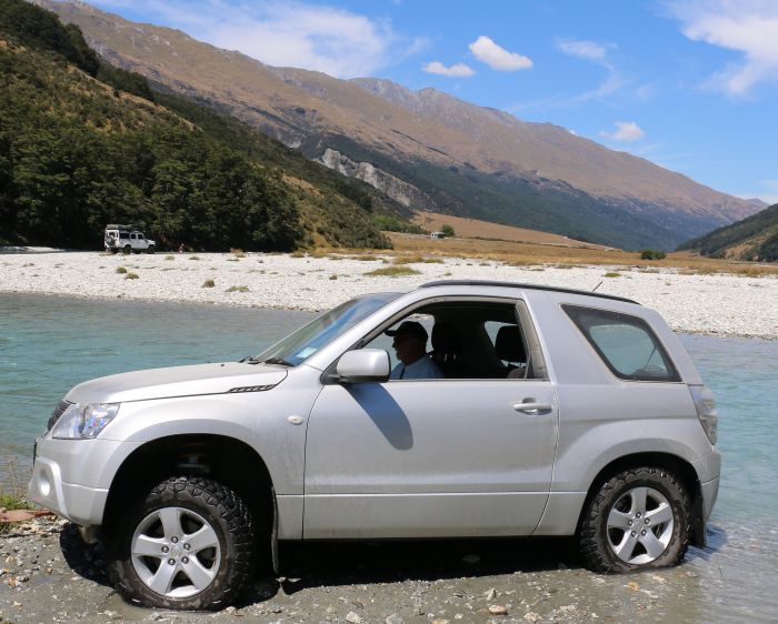
Drove down into the valley beside a stream through water crossing and back up hill. There had been a lot of gates to open.
We turned up onto Mt Moka track on the Bendigo Conservation Area. We stopped at an airstrip and met another vehicle there. There were views over to Mt Aspiring, Tarras Valley and the Pisa Range.
We climbed a steep track of rock then onto a track of ruts, dirt and shingle. There were low plants on the landscape, tufts of small grass and mossy type plants. In the distance we could see Lake Hawea to the North. We got to 1400m above sea level. We turned onto private land, Moutere Station. The land was very barren mostly moss until only rocks.
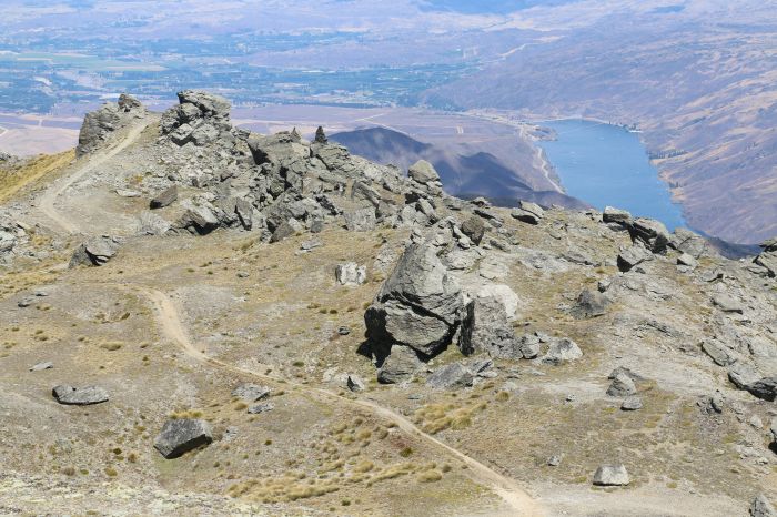
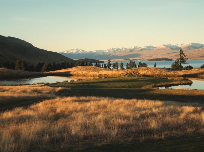
We stopped at Leaning Rock for lunch. It is 1647m above sea level and again we were looking down over cloud. In other directions we could see the Remarkables, and down over Bannockburn and Cromwell, as well, as over where we'd been the day before.
As the cloud started to break up we could see down to Alexandra, Clyde and the dam, and the new cycle trail beside Lake Dunstan.
After lunch we came back the same way. We had to be careful coming down the the steep rocky slope. Back at the landing strip we said our thank you and good byes before going our separate ways. The majority continued the Thompson track, more gates, and coming out at Tarras and that concluded the day.
Trip report by Michelle and Greg Mcfarlane
|